

About SeismicCity
SeismicCity is an industry leader in development of depth imaging technology and in providing depth imaging services. Our services, combined with proprietary algorithms developed on top of commercial software, provide the best available solutions in the field of depth imaging. We consistently execute model building, interpretation, prestack depth migration and simulation projects to the highest industry standards.
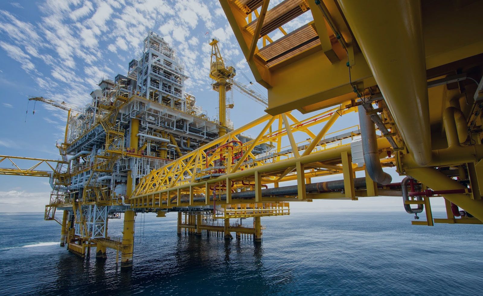
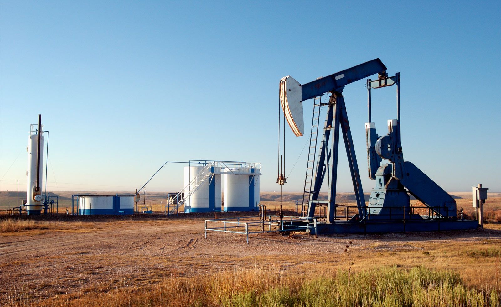
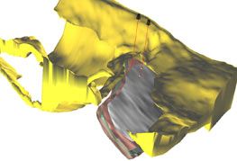
SeismicCity depth migrated data is successfully being used by our clients in exploration for new oil and gas reserves and for development of known reservoirs. We focus on the construction of highly accurate geological models that are the most appropriate for application of prestack depth migration. This includes construction of complete anisotropic geological models.
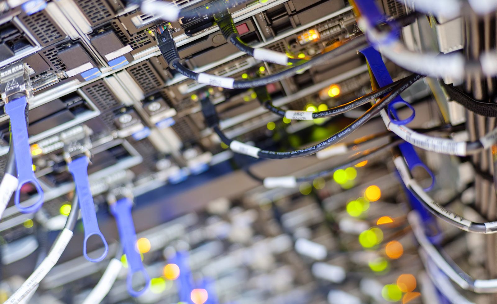
SeismicCity's prestack depth migration algorithms are developed in house by the company research and development team. The prestack depth migration algorithms are optimized to take full advantage of evolving computer hardware. An integral part of our development effort is the incorporation of the newest computer technology built specifically for storage and processing of large seismic datasets.
We continuously focus our development efforts on the objective of increasing the accuracy of the depth migrated datasets that we produce. With the use of GPU technology and the incorporation of TTI model building and RTM, we are able to offer much more accurate depth imaging solutions to our customers.
This reduces the risk involved in exploration programs which are using our depth imaging technologies.
Our Seismic Services
The successful execution of every depth imaging project lies at the core of our services. Our services include the three components required for successful execution of a depth imaging project: Model building, Prestack depth migration and Data analysis.
Model building consists of the construction of a geological model consisting of a layered velocity and anisotropic model, as well as an accurate estimation of the layered velocity and anisotropic fields. This is done by application of repeat iterations of prestack depth migration, adding more layers, and increasing the accuracy of the layers velocity and anisotropic fields at each iteration.
Prestack depth migration is used both during model building and for producing the final prestack depth migrated volumes. We are using both Kirchhoff summation and Reverse Time Migration algorithms for application of prestack depth migration. Both algorithms produce both stacks as well as image gathers.
Data analysis is done to assist in the interpretation of the depth migrated data produced by our services group or elsewhere. Data analysis consists of simulation of the depth migrated data. Using simulation, coherent noise can be easily identified and helps in the identification of primary data from noise.
Use of data analysis as part of a depth imaging project completes the workflow needed to ensure the construction of the most reliable geological models and generation of minimal artificial noise depth migrated data.
In order to ensure transparent technology transfer to our clients, we also provide educational courses that cover all aspects of depth imaging technology, from theory to practice.
- Accurate model building for depth imaging
- Prestack depth migration using proprietary algorithms
- Simulation for data analysis and acquisition design
- Anisotropic parameter estimation and Anisotropic prestack depth migration
- Interpretation and modeling of complex geological structures
- Pre-processing and data preparation for depth imaging
- For our clients we provide in house training on the practical aspects of depth imaging technology.


